
West Valley City Postal Areas
Utah’s official ZIP list and USPS material associate 84119, 84120, 84128, and 84170 with West Valley City in different ways. The strongest pairing is 84120 and the West Valley Post Office. 84119 appears in western Salt Lake Valley and nearby postal labels. 84128 and 84170 occur in delivery-unit material, but a postal association is not a parcel-level city-limit statement.
| ZIP | Official association | Confidence and caution |
|---|---|---|
| 84119 | West Valley City and western valley labels | Postal and municipal edges overlap. |
| 84120 | West Valley City; West Valley Post Office | Strongest verified WVC pairing. |
| 84128 | West Valley City delivery area | Verify address and delivery classification. |
| 84170 | West Valley City in USPS/state material | Exact delivery and PO-box split not located. |
| 84118 | Salt Lake, Taylorsville, or Kearns labels | Possible WVC edge overlap; verify parcel. |
| 84081 / 84044 | West Jordan / Magna postal cities | Do not call them WVC ZIPs without verification. |
A ZIP code directory is therefore a sorting aid. It can place an address into the right postal inquiry, but it cannot tell you every person associated with that ZIP.
84120 and the West Valley Post Office
The USPS location page identifies the West Valley Post Office at 3490 S 4400 W, West Valley City, UT 84120-9998. It lists weekday hours of 9 to 6, Saturday hours of 10 to 2, 24-hour PO Box access, kiosk and carrier services, and no financial or passport services. The ZIP+4 form belongs to that facility listing. It is a place to verify delivery and postal service, not a public resident directory.
USPS’s 2014 delivery-unit listing also associates 84120, 84128, and 84170 with West Valley City. Postal-city labels can persist across a boundary, so retain the exact city text shown by USPS when mailing. Compare it with the county’s property location and the state municipal boundary layer if the distinction matters.
Open the official source before relying on this image.
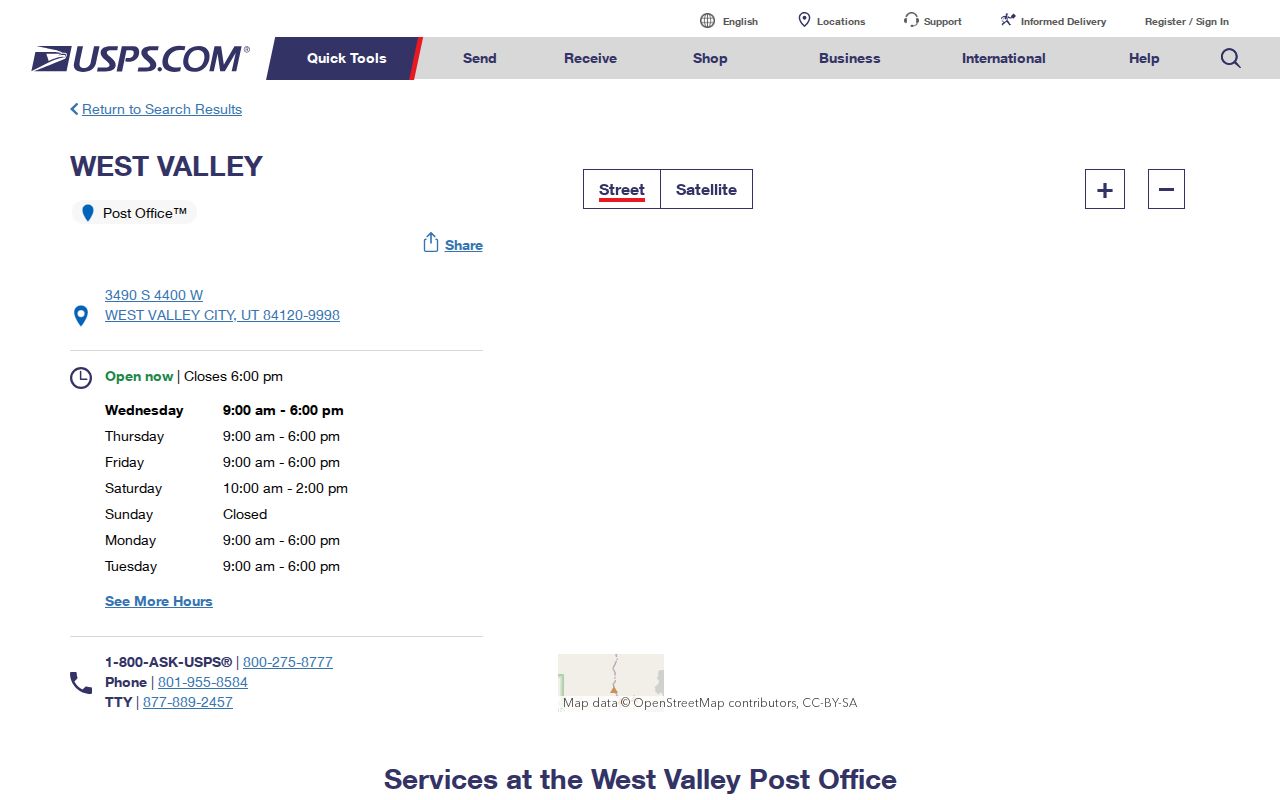
The USPS facility details are the best final check for a postal label tied to 84120.
West Valley City ZIP Edge Cases
84118 has Salt Lake, Taylorsville, and Kearns postal associations and may touch southern or eastern West Valley City edges. 84081 is listed with West Jordan, and 84044 with Magna. The research did not locate a verified parcel-by-parcel overlap for these edge labels. Do not assign an address to West Valley City from the ZIP alone. A postal city can differ from a legal municipality, and ZIP polygons are not a property survey.
The Utah GIS ZIP Code Areas page describes polygons sourced from USPS/AIS, TIGER, and local data. Updates affect the research trail. The 2012 history records paired changes such as 84104/84119 and 84104/84120. Recent Salt Lake west-side update history is another reason to preserve the source date when comparing an old directory or mailing record with a current map.
| Compare | Question answered |
|---|---|
| USPS label | Where mail is addressed or delivered. |
| ZIP polygon | Approximate geography for a delivery area. |
| Municipal boundary | Whether a point falls inside West Valley City. |
| Parcel situs | Which physical property the county records. |
Query Utah’s ZIP Polygon Layer
The official Utah ZIP Code Areas feature service can be queried for geometry and attributes. Use it to compare a ZIP shape with the Utah municipal-boundary layer, a Salt Lake County parcel, and a USPS address result. A polygon is a map approximation. It does not carry a current list of residents, owners, voters, or occupants.
For a defensible address check, copy the exact address and ZIP from USPS, find the situs parcel in the Salt Lake County GIS Parcel Viewer, and compare that point with the city boundary. If the point is close to an edge, keep the uncertainty in the notes rather than rounding it away.
Open the official source before relying on this image.
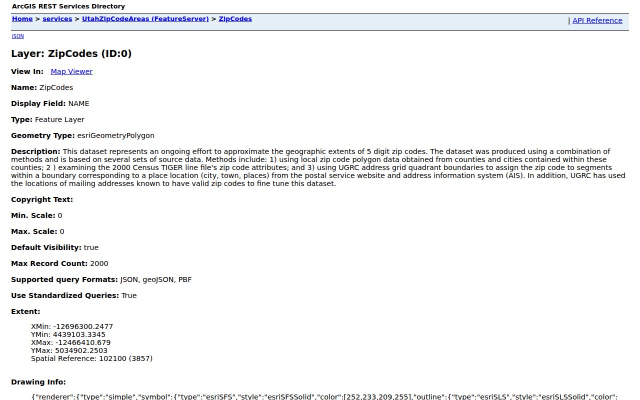
The feature-layer capture shows the map-data route for comparing ZIP geography, not a person-search route.
ZIP Search Cannot List Residents
The Utah ZIP list browses ZIP and postal-city labels. USPS verifies delivery. The ArcGIS layer maps an approximate area. The Salt Lake County Assessor searches by owner, address, or parcel, but no verified public ZIP-wide export was located. The Recorder searches by address or parcel, not a free ZIP-wide name sweep. The Utah voter lookup is a status tool; an authorized full file may contain ZIP through residence or mailing fields, but it is fee-based and restricted.
When a question really means “who owns the parcels in this ZIP,” use the West Valley City street directory workflow, parcel by parcel. When it means “who lived here in the past,” move to the city directory collections and historical place names. A ZIP filter should narrow the map, not replace the record custodian.
Join ZIP, Parcel, and Address
The Assessor result can show a property location, owner name, parcel ID, possible mailing address, legal description, value, property type, tax district, and exemption flag. The county parcel layer adds geometry, city, ZIP, owner type, and data-version fields. These fields do not all update on the same schedule. Compare the parcel situs with the USPS address, then carry the parcel number to the Recorder if a deed or plat matters.
- Copy the USPS delivery address and ZIP exactly.
- Test the address in the Assessor autocomplete and save the parcel number.
- Locate the same parcel in county GIS and compare the map point.
- Check the Utah ZIP polygon and municipal boundary if it is an edge address.
- Use the Recorder or a focused GRAMA request for the underlying document.
An owner mailing address may be in another ZIP. That is a contact field, not a city-limit correction and not proof of occupancy.
ZIP Changes and Old Directories
Historical directories print the address and place name of their era, not the current ZIP logic. A 1959 or 1974 suburban volume may identify Granger, Hunter, Chesterfield, or Salt Lake County. A later mailing address can carry a postal label that does not match the older city term. Preserve the original line before normalizing it to a current ZIP.
Use the County Library’s newspapers and the University of Utah digitized directory collection to find the old label. Then anchor the land in the Recorder and Assessor. This is especially useful around postwar subdivisions, Valley Fair Mall-era growth, and the 1980 incorporation, when community and postal names were changing at different speeds.
Verify Before Mailing
USPS is the final source for deliverability and facility services. The Utah ZIP list is useful for postal-city labels. The county parcel viewer is useful for property geography. The city boundary service is useful for municipal placement. Use all four when a record, notice, or historical address sits near an edge.
Good practice. Keep four separate notes: postal address, ZIP, municipal place, and parcel situs. A fifth note can hold the owner mailing address if the Assessor displays it. Combining these fields too early creates false matches.
For personal research, a ZIP may help locate a branch, newspaper edition, or archive search. It does not authorize a broad search for residents. Confirm names and addresses with the office that created the record.
Postal Geography Has Limits
ZIP polygons do not reveal household membership. Renters, children, protected voters, Safe at Home participants, utility customers, and private delivery accounts remain outside a public ZIP lookup. A voter status result does not become a ZIP roster, and a parcel owner does not become every resident of the property.
Lawful use. Use West Valley City ZIP information for mailing, genealogy, civic geography, property research, and personal safety awareness. Do not use postal or parcel clues to stalk, harass, intimidate, or harm anyone.
The right handoff is simple: use USPS for mail, Utah GIS for approximate geography, the city boundary for jurisdiction, Assessor and Recorder for land records, and the street or resident pages for a focused record trail.