
Walk a West Valley City Street
Begin with one exact address. On the Salt Lake County Assessor page, use the Address autocomplete and select the matching result. Save the parcel number, property location, owner name if shown, mailing address if shown, legal description, value, exemption, and tax district. The county parcel key is more stable than a street spelling, especially when an older record uses Granger, Hunter, Chesterfield, or Salt Lake County instead of West Valley City.
- Enter the address at the Salt Lake County Assessor and choose the autocomplete result.
- Open the same parcel in the county GIS viewer and compare its shape with the street.
- Use the parcel or selected address at the Recorder Public Search.
- Read each instrument as a deed, lien, mortgage, easement, plat, release, or another record type.
- Add a voter-status check or historical street index only when that record fits the question.
A street-by-street pass means repeating that process parcel by parcel. GIS can gather a line or polygon selection, but the old viewer limits the result list to the first 1,000 parcels and does not provide a verified radius-neighbor command.
Assessor Fields for a Street Search
The Assessor’s public search has three useful keys. Owner is labeled “Last Name, First Name.” Address accepts an address or parcel through autocomplete. Parcel Number follows the county format 00-00-000-000-0000. The Search and Reset controls are simple, but the result card requires care. Property location is the situs, or physical place. The owner mailing address is a contact and delivery field. A mailing address can be outside West Valley City and does not prove occupancy.
| Control | How it works | Street-search use |
|---|---|---|
| Owner | Last Name, First Name text | Find parcels tied to an owner name. |
| Address | Autocomplete text | Select the county’s exact property result. |
| Parcel Number | County-formatted text | Carry one parcel across GIS and Recorder work. |
| Search / Reset | Run or clear controls | Test variants without changing the saved key. |
Open the official source before relying on this image.
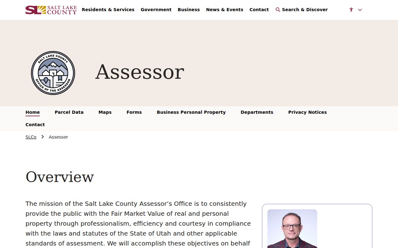
The captured Assessor controls make address autocomplete the safest first move for a West Valley City street record.
Read the West Valley City Parcel
A parcel is a defined piece of land identified by the county. A plat is a recorded map that lays out lots, blocks, streets, and easements. A legal description is the formal land key, which can use a subdivision and lot or a different description. The situs address is where the land is placed for everyday use. A mailing address is where notices go. These keys can diverge, so copy each one exactly before you compare records.
- Parcel
- County land unit joined to an identifier and boundary.
- Situs
- Physical property location, not a guarantee of the current household.
- Plat
- Recorded map showing subdivision lots, blocks, and street relationships.
- Criss-cross directory
- A reverse directory section that starts with an address and points to an occupant lead.
AGRC and county parcel layers may show parcel address, city, ZIP, owner type, data version, and boundary geometry. A statewide feature layer is a useful map aid, not a title source. Confirm a land question with the Recorder’s document and legal description.
Map Adjacent West Valley City Parcels
The older Salt Lake County parcel viewer exposes a Parcel/Owner/Address tab, Find Parcel Number, Find Owner, and Find Address controls. It supports line and polygon drawing, Street, Aerial, Topo, and 2014 fall basemaps, county layers, Pictometry imagery, measuring, and map export. Click a parcel to inspect its result, then pan along the block. Shift-click recenters, scroll or use plus and minus to zoom, and Clear map or Clear all resets the selection.
Use the map to discover which parcels touch the target. Then open each parcel in the Assessor rather than treating a geometry label as a person record. The result list uses fields such as property Location, owner_name, and parcel_id. A line drawn over a long street may return up to the first 1,000 results, so split a large street into blocks and retain the map date.
Open the official source before relying on this image.
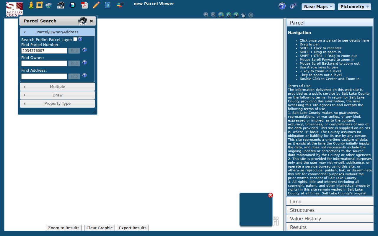
The parcel viewer is the right tool for seeing a street segment, but each selected parcel still needs a record-level check.
West Valley City Street Record Layers
Different custodians answer different parts of the address question. The Recorder’s index is not a resident roster, and a permit applicant is not necessarily an owner. Use the parcel number to join the layers while keeping the meaning of each record intact.
| Record set | Keeper | What it can show | Access |
|---|---|---|---|
| Parcel card | Salt Lake County Assessor | Owner, situs, value, exemption, tax district | Public search |
| GIS geometry | County GIS / AGRC | Boundary, parcel ID, address, imagery | Viewer and REST layer |
| Deed and index | Salt Lake County Recorder | Grantor, grantee, date, instrument, legal description | Free list; copies cost |
| Voter file | Utah and County Elections | Authorized residence, unit, precinct, status fields | Restricted and use-limited |
| Permit or code file | West Valley City departments | Applicant, contractor, project, or public case material | Focused request; no live portal found |
For a city file, request a narrow address, date range, and record type under GRAMA. The city Building Inspections page reports residential plan review around three to five days, new-house plan review around ten days, commercial review around three to four weeks, and inspection requests usually within 24 hours. It does not expose a public address-indexed permit search.
Join a Parcel to the Deed Index
Once each lot has a parcel number, open the Recorder’s free public search. Terms acceptance comes first. The public search uses a selected address or parcel and may lag by up to 24 hours. The returned list can include a recording or instrument number, recorded date and time, document type, book and page or electronic image reference, parties, legal description, parcel or serial number, and image status. The exact fields vary by entry.
Follow the chain with the legal description and prior instrument reference. A grantor is the party conveying an interest; a grantee receives it. A mortgage or deed of trust is not a sale, and an easement or plat does not identify everyone who uses the land. The Recorder’s permanent record series is extensive, but the office does not give a clear-title opinion. Order a copy when the distinction matters. Ordinary pages, historical pages, and certified copies have different published charges.
Open the official source before relying on this image.
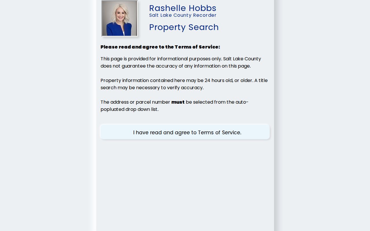
The Recorder search screen is the handoff from parcel identity to recorded land history.
Search Granger and Hunter Street Names
Modern street names can hide the older record label. Harker settlement dates to 1848, Granger settlement to 1866, and Hunter families formed agricultural communities before the city existed. The 1950 Granger-Hunter Improvement District, 1948 subdivisions, and later Valley Fair Mall growth all created records under county or neighborhood names. For a house built or occupied before July 1, 1980, search Granger, Hunter, Chesterfield, Salt Lake County, and the subdivision name along with the modern city.
After 1924, Utah Historical Society research guidance points to Polk pink pages for address-to-occupant work. Before 1924, use Preservation Office house files, newspapers, Recorder documents, and Assessor or map evidence. The County Library’s Utah Digital Newspapers, Utah NewsSearch, and genealogy resources can supply an obituary, civic notice, subdivision advertisement, or family clue. A missing line is not proof that a property was empty.
Limits of a Street Directory
An address-keyed record may show an owner, a recorded party, a licensee, or an applicant. It usually does not show every resident. Renters, children, household members, utility customers, delivery customers, protected voters, Safe at Home participants, and sealed court parties are outside the ordinary public chain. Utah’s Driver Privacy Protection Act also restricts personal address information from motor-vehicle records. A voter status lookup is not a public street sweep.
Lawful use. West Valley City street records are suitable for genealogy, property curiosity, civic research, estate work, and personal safety awareness. Do not use an address record to stalk, harass, intimidate, or harm someone. Verify with the custodian before relying on a name or address.
When a record is wrong, contact the originating office. Assessor corrections go to the Assessor, deed questions to the Recorder, voter matters to County or State Elections, and city files to the city custodian. A GRAMA request can locate a permissible document, but it does not automatically change the source record.
Keep ZIP and City Separate
West Valley City postal labels include 84119, 84120, 84128, and 84170, while 84118, 84081, and 84044 may occur at nearby or uncertain edges. ZIP polygons are delivery approximations. Compare the Utah ZIP list, USPS, the county parcel situs, and the municipal boundary instead of using a ZIP as proof of city limits. Historical ZIP boundary updates, including 84104/84119 and 84104/84120 pairings, can change how an old address appears.
For mail verification, the West Valley Post Office page lists 3490 S 4400 W, West Valley City, UT 84120-9998, weekday and Saturday hours, and 24-hour PO Box access. Postal verification answers deliverability. It does not identify a household and does not replace the parcel or deed record.