
Start Around One West Valley City Address
Enter an exact address in the Salt Lake County Assessor, choose the autocomplete result, and save the parcel number and situs. Then open the same parcel in the county viewer. Pan to the parcels that touch it, click each boundary, and keep the block’s geography separate from the names found in record cards. The public-ownership ArcGIS layers classify public parcels such as city, county, state, schools, UDOT, UTA, BLM, and forest land. They do not create a resident list.
- Resolve the target address to the county parcel and property location.
- Use GIS pan, zoom, click, or line/polygon selection to identify adjacent parcels.
- Open each parcel in the Assessor and record owner and legal-description fields.
- Use the Recorder for a deed, plat, easement, lien, or related instrument.
- Use Neighborhood Services or Watch resources for civic context, not member names.
There is no verified buffer or radius-neighbor command in the inspected viewer. “Neighbor” here means a touching or nearby parcel, not a person proven to live there.
Draw the West Valley City Block
The older Salt Lake County viewer has Parcel/Owner/Address tabs and Find Parcel Number, Find Owner, and Find Address controls. It supports line and polygon drawing, which can select several parcels, plus Street Map, Aerial Imagery, Topo Map, and 2014 fall basemaps. County Layers and Pictometry add context. The map can export PDF, JPG, PNG, GIF, EPS, SVG, or SVGZ with title and orientation choices.
Click a parcel for its property Location, owner_name, and parcel_id result. The first 1,000 results are the limit, so divide a long block into smaller selections. Drag to pan, use Shift-click to recenter, and clear the map before a new block. Save the date and viewer URL because parcel data and layers change.
Open the official source before relying on this image.
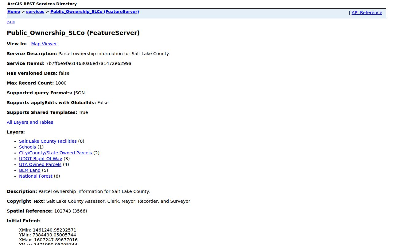
The public-ownership layer is useful for civic parcel context. It does not prove that a named owner occupies the parcel.
Adjacent Parcel Is Not Adjacent Household
A parcel boundary shows land. An Assessor card may show owner name, parcel, situs, value, tax district, exemption, legal description, or mailing address. The owner mailing address can be elsewhere. A homestead or exemption flag may be relevant context, but it is not a guarantee of current residence. A deed names parties to an instrument, not every person using the home. The right description is “owner record tied to an adjacent parcel,” not “neighbor” unless an independent source supports that word.
| Layer | Block information | Limit |
|---|---|---|
| GIS viewer | Touching parcels, address, boundary, imagery | Geometry is not occupancy. |
| Assessor | Owner and property card fields | Mailing address is not situs or occupancy. |
| Recorder | Transfers, liens, plats, easements | Instrument parties are not all residents. |
| Voter file | Authorized residence, unit, district, status | Protected fields and At-Risk records withheld. |
| Neighborhood programs | Group area and civic contacts | No public member roster located. |
This distinction matters for a safe block search. Use the parcel to find the right office, then use the office’s record to state only what the record supports.
Neighborhood Watch in West Valley City
West Valley City Neighborhood Watch is the verified local community layer. The city describes groups that may cover 12 to 500 homes, recommends a group of no more than about 100 homes, and uses block captains for roughly 10 homes. Annual training and police-area-crime presentations help groups organize. These programs connect residents and police; they do not publish a citywide list of members or a block-by-block resident directory.
Neighborhood Services at 1355 W 3100 S, at the Utah Cultural Celebration Center, provides city contact and program information. Its page lists a GIS neighborhood-map link, a Monday through Thursday schedule of 8 to 6, and civic resources. Contact a program through its official route rather than trying to reconstruct names from public records.
Open the official source before relying on this image.
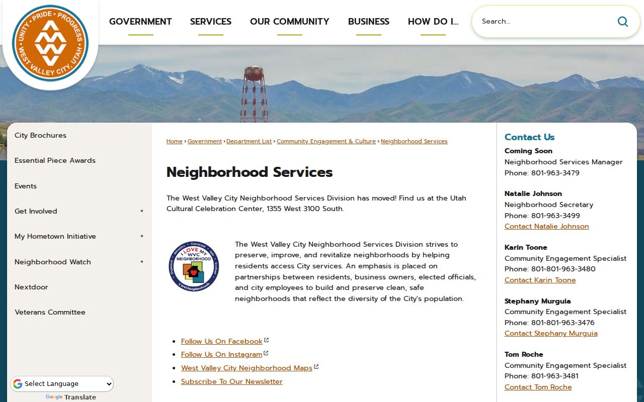
The Neighborhood Services page adds civic context and an official map link, while keeping personal member information out of the public layer.
Use Neighborhood Services Forms
The city’s Neighborhood Services forms include registration or interest, organization guidance, meeting sign-in and minutes, neighborhood contact booklet, new-neighbor packet, neighbor data sheet, activities, traffic-study request, and block-party or street-closure guidance. They help a group organize its own contact information. They are not a public HOA or household roster. The exact data shared by a group depends on the group and form.
My Hometown areas add another useful civic label: Central Granger, NE Granger, West Granger, and Central Valley View. The initiative launched in January 2020 with residents, churches, businesses, and organizations. Use these names to understand local context and city programming, not as boundary-certified neighborhood or membership lists.
Voter Visibility on a Block
Utah’s official voter status lookup is not verified as a block-wide search. An authorized full voter file may contain residential or unit fields, mailing city, precinct, districts, status, and vote history, but it omits full date of birth, email, phone, signature, and protected At-Risk records. Salt Lake County’s 2026 privacy transition gives May 6 as the At-Risk request date and May 26 as the nonprotected-data public date. Older Private or Withheld descriptions may no longer be current.
Do not use a precinct, district, or neighboring address to infer a protected person’s home. A voter record shows registration under election rules, not household membership, phone, or a guaranteed current occupant. Use the public tool for status and polling, and send legitimate file questions to County or State Elections.
Recorder Context for Nearby Parcels
After the map identifies adjacent parcel numbers, check the Assessor and Recorder one parcel at a time. The Recorder Public Search requires terms acceptance and uses a selected address or parcel. A result can include instrument number, recorded date, document type, parties, legal description, parcel, book/page or image reference, and image status. Follow the legal description and plat when the boundary is unclear. A deed of trust, lien, release, or easement should not be described as a sale.
The West Valley City street directory owns the full street-by-street chain. The block workflow here should stay limited to adjacent parcels and immediate civic context. For a past owner, use the previous residents page and historical directory shelf.
Public-ownership layers help explain a block’s civic parcels, but they are not an owner or occupant search.
No Public HOA Umbrella Roster
The research located no complete West Valley City HOA or neighborhood-association member directory. Neighborhood Watch, Neighborhood Services, My Hometown areas, city boards, public meetings, and archive documents are the verified community routes. A board or commission name can show civic participation in that role, but it does not prove that every member lives beside the target address.
For a group contact, use the city Neighborhood Services page, its forms, or the organization’s own public channel. Do not treat a private contact booklet or neighbor data sheet as permission to publish a person list. A focused GRAMA request can ask for an existing public city document, but it cannot require the city to create a new roster.
Privacy Limits Around Neighbors
Renters, children, household members, utility and delivery customers, protected voters, Safe at Home participants, sealed court parties, and private license or contact data remain outside a normal block search. Safe at Home hides actual home, mailing, city, county, precinct, phone, and identifying address details, while the substitute address is not confidential. The public record’s availability does not remove these limits.
Lawful use. West Valley City neighbor research can support civic involvement, genealogy, property curiosity, reconnection, and personal safety awareness. Do not use parcel or name clues to stalk, harass, intimidate, or harm anyone. Verify a fact with the custodian and stop when the record becomes private.
Commercial neighbor tools are private data-broker products that infer household and phone relationships from mixed data. They can be stale or wrong. Official sources are narrower, but that narrowness is a reason to state the record’s true meaning.
Granger Areas and Block Context
Central Granger, NE Granger, West Granger, and Central Valley View are useful West Valley City civic areas. Historical records may use Granger, Hunter, Chesterfield, Salt Lake County, Taylorsville, or a postal Salt Lake City label. ZIP 84119, 84120, 84128, and 84170 have West Valley associations, but ZIP polygons do not define the block or city limit. Compare parcel situs, municipal boundary, and postal label before describing the area.
The city’s agricultural, subdivision, mall, transit, and civic eras shaped the block pattern. A line drawn across an old farm tract may not match today’s lots. Use the plat, Recorder legal description, and current GIS boundary together. If a map layer and a deed disagree, ask the Recorder or survey professional instead of treating the map as title evidence.